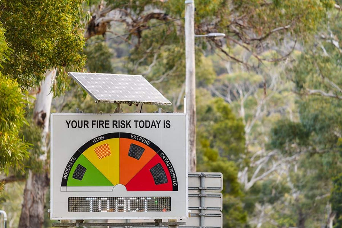
Fire Danger Rating signs help to provide clarity and guidance on how to respond during bushfire season. Here's what you need to know to stay safe.
What is El Niño? How will it affect our weather?

If an El Niño alert develops into a El Niño event, south-eastern Australia could face the risk of extreme heat and increased bushfire danger this summer.
Victorians can expect a higher chance of drier and warmer weather this winter, with reduced rainfall. The Bureau of Meteorology (BoM) has issued an El Niño alert, which signifies a 70 per cent chance of an El Niño event occurring this year.
An El Niño alert is part of a staged system which BoM uses to keep Australians informed about the increased risk of this weather pattern. The next level is called an El Niño event, which is declared if long-term changes in ocean temperatures and atmospheric conditions are confirmed.
But what is El Niño and what does it mean for the east coast of Australia and this year’s bushfire season?
What is El Niño?
El Niño describes changes in the tropical Pacific Ocean that significantly affect global weather. It occurs on average every three to five years.
El Niño is the warm phase of the El Niño-Southern Oscillation (ENSO), a naturally occurring shift in ocean temperatures and weather patterns along the equator in the Pacific Ocean. The other major part of the cycle is La Niña, with neutral conditions in between. The entire ENSO cycle usually occurs for periods of one to eight years.
During El Niño equatorial trade winds weaken, which decreases cloud development and typically causes below average rainfall over large areas of Australia. This change is also associated with a sustained period of warming of the central and eastern tropical Pacific Ocean, and above average daytime temperatures.
Where did the name come from?
In Spanish, El Niño means “the little boy” and La Niña means “the little girl. These two weather patterns have opposite effects. El Niño makes the Pacific Ocean warmer than usual, while La Niña makes it cooler.
South American fishermen apparently noticed the weather phenomenon as far back as the 1600s, and the phase associated with warmer waters was named El Niño de Navidad (Christmas) because El Niño typically peaked around December in that part of the world.

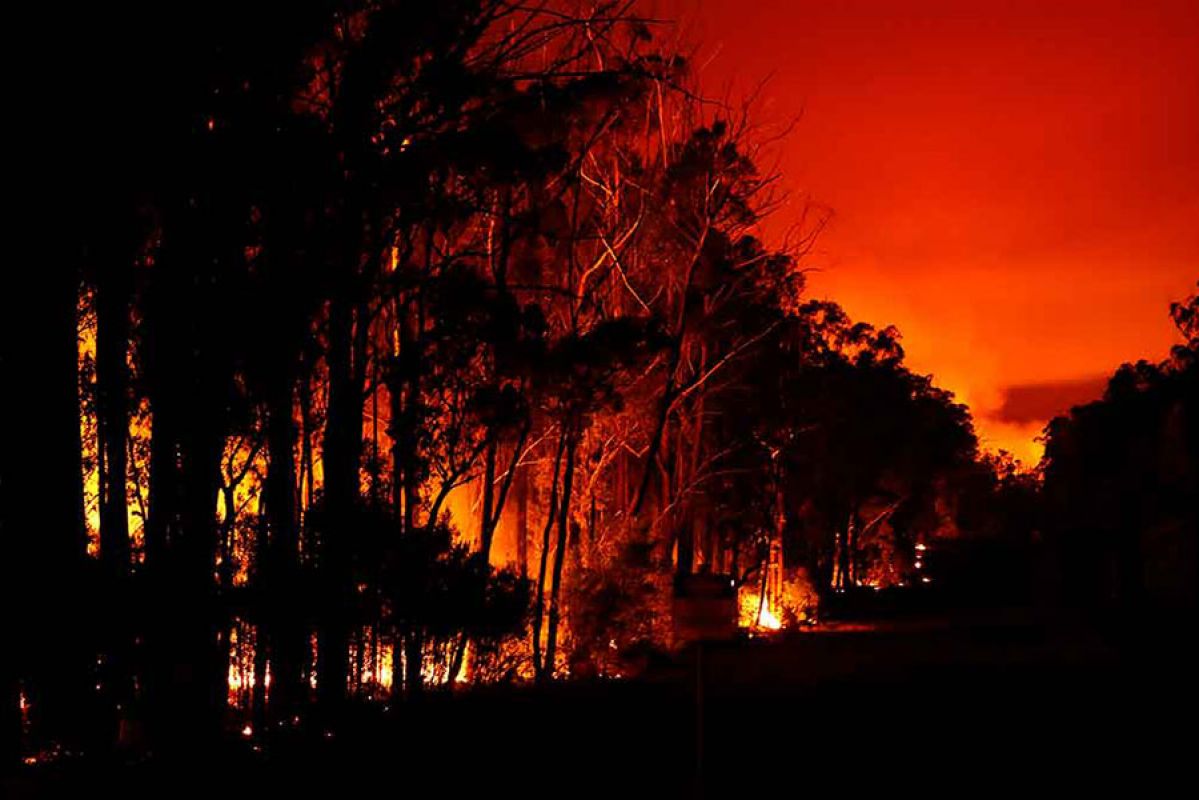
If an El Niño event develops, Victoria faces a much higher risk of bushfires occurring this summer. Photo: CFA
What to expect this winter and summer?
At this stage, BoM has issued an El Niño alert. Even if El Niño develops, it will affect different parts of Australia in different ways. The weather changes predicted include:
- Reduced rainfall for eastern Australia.
- Warmer daytime temperatures for the southern two-thirds of Australia.
- Increased risk of extreme heat.
- Increased bushfire danger in south-eastern Australia.
- Increased frost risk linked to clear skies at night.
- Decreased alpine snow depths.
El Niño is also associated with a later start to the northern wet season, which you might need to consider if you have holidays planned in Northern Territory and Queensland. There is also a likelihood of a reduction in the tropical cyclones that hit northern parts of Australia between November and April each year.
BoM says the long-range forecast for winter shows an increased chance of below average rainfall for almost all of Australia, regardless of El Niño.
Severe weather events have the potential to threaten the safety of people and animals, and cause significant damage to homes and infrastructure.
Make sure your home insurance is current, and covers you for the right items and structures.

If you live in or visit bushfire-prone areas, make sure you understand the updated Fire Danger Rating System. Photo: CFA.
Preparing for bushfire season
If an El Niño alert develops into a El Niño event, south-eastern Australia will face the risk of extreme heat and increased bushfire danger.
BoM records show that nine of the ten driest winter–spring periods on record for eastern Australia occurred during El Niño years. This means Victoria faces a much higher risk of bushfires occurring this summer.
Victorians should consider preparing early and find out how to protect your family and property this bushfire season.
Those who live in or will be visiting bushfire-prone areas and communities this spring or summer need to ensure they stay vigilant when it comes to bushfire preparation. This includes monitoring bushfire alert levels and understanding the updated Fire Danger Ratings. It is advisable to download the VicEmergency app on your smartphone.
Severe weather events regularly occur in Victoria and include bushfires, storms, and floods. Find out how to prepare for severe weather and stay safe by downloading our bushfire risk and bushfire awareness factsheets.
The information provided is general advice only. Before making any decisions please consider your own circumstances and the Product Disclosure Statement and Target Market Determinations. For copies, visit racv.com.au. As distributor, RACV Insurance Services Pty Ltd AFS Licence No. 230039 receives commission for each policy sold or renewed. Products issued by Insurance Manufacturers of Australia Pty Ltd ABN 93 004 208 084 AFS Licence No. 227678.


